Access the data

bathymetry related data in Shapefile format
Shapefile
- An archive contains ArcView shapefiles. When you download a file, click an image.
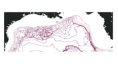
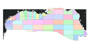
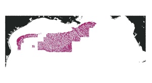
B. Lease Blocks
- Files include block.dbf, block.shp, and block.shx.
- The field names include "lease_num", "ocs", "block_lab", and "ac_lab", which are the lease number, OCS name, block number, and OCS name with block number, respectively.
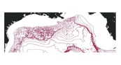
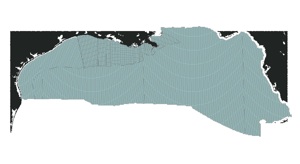
C. OCS areas
- Files include ocs.dbf, ocs.shp, and ocs.shx.
- The field names include "ocs_abr" and "ocs", which are abbreviations of OCS name and OCS full name, respectively.
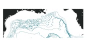
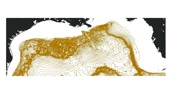
A. Contours (in meters)
- 50 m , 100 m, 200 m, 300 m, and 400 m divisional contours.
- The suffixes are: dbf, shp, and shx.
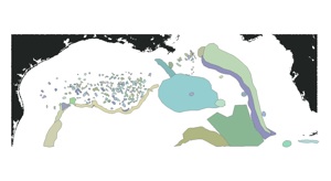
D. Feature names
- The shapefile that contains the feature names.
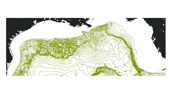
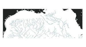
E. Drainage paths
- High-order drainage (general paths): Files include stream.dbf, stream.shp, and stream.shx
- Low-order drainage (detailed paths): Files include strdetail.dbf, strdetail.shp, and strdetail.shx


Disclaimer: All the data have been carefully prepared. Texas Sea Grant College Program, Texas A&M University, or Geoscience Earth & Marine Services, Inc., (GEMS) assumes no responsibility or liabilities for any reliance on the information presented.
Access the Data: SRTM30PLUS CRM MB-Pts MB-GRID MB-UTM Shapefiles Shoreline Links