Access the data

bathymetry (Multi-beam Grid data)
Disclaimer: All the data have been carefully prepared. Texas Sea Grant College Program, Texas A&M University, or Geoscience Earth & Marine Services, Inc., (GEMS) assumes no responsibility or liabilities for any reliance on the information presented.
Grid
-
-An archive (.zip) contains ArcGIS bathymetry grid files.
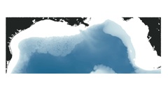
2. merge1.zip (631 KB)
- Gridded data that combined multibeam and digitized bathymetry data.
- This file covers the entire area.
- The grid space is 0.01°.
3. merge2.zip (4.4 MB)
- Gridded data that combined multibeam and digitized bathymetry data.
- This file covers the entire area.
- The grid space is 0.003°.
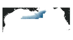
4. add25.zip (6.1 MB)
- Gridded multibeam data that cover the northwestern portion of the Gulf and north of 27.25°N.
- The grid space is 0.0003°.
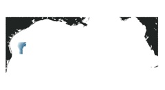
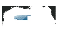
5. add50.zip (1.6 MB)
- Gridded multibeam data that cover the northwestern portion of the Gulf and south of 27.25°N.
- The grid space is 0.0005°.
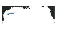
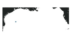
6. alam.zip (365 KB)
- Gridded multibeam data that cover the Alaminos Canyon.
- The grid space is 0.0005°.
7. north25.zip (47.3 MB)
- Gridded multibeam data that cover the northcentral portion of the Gulf and north of 27.25°N.
- The grid space is 0.0003°.
8. south50.zip (16.7 MB)
- Gridded multibeam data that cover the northcentral portion of the Gulf and south of 27.25°N.
- The grid space is 0.0005°.

Access the Data: SRTM30PLUS CRM MB-Pts MB-GRID MB-UTM Shapefiles Shoreline Links