R/V Manta Underway System
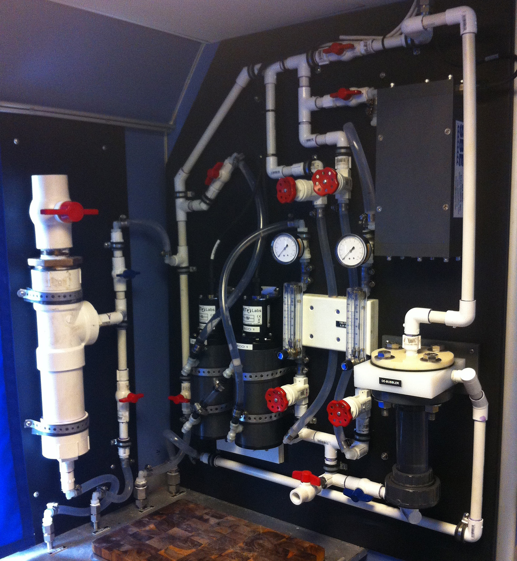
For underway measurements a seawater flow-through system is used which collects sea water continuously and runs it through several oceanographic instruments. Navigational and meteorological data are also collected continuously. Two computers log all data for later processing.
- Installed in partnership with Texas A&M University
- Multi-faceted sea water flow-through system with two computers dedicated to logging data from the following sensors/systems:
- Furuno NavNet: GPS data, depth, sea temperature
- Furuno SC30 Satellite Compass: GPS data, true heading, vessel heave/roll/pitch
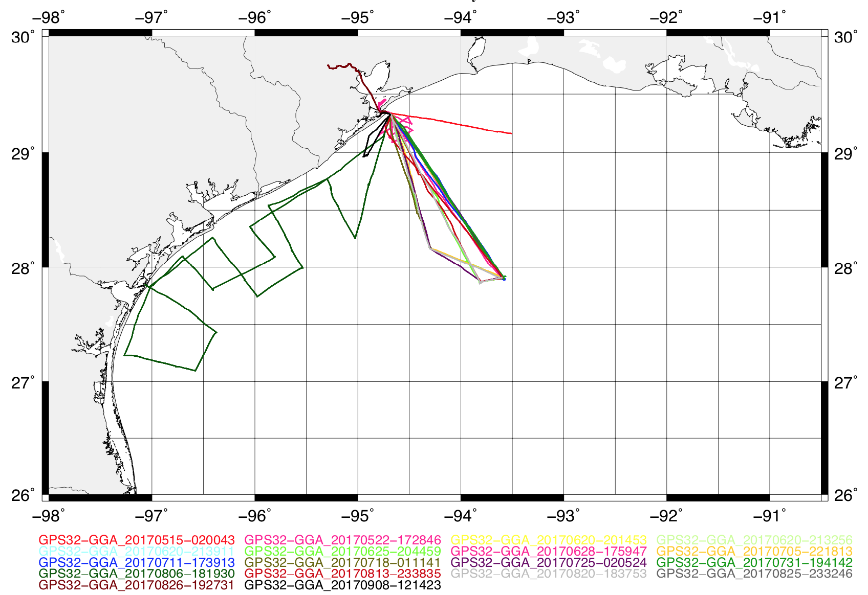
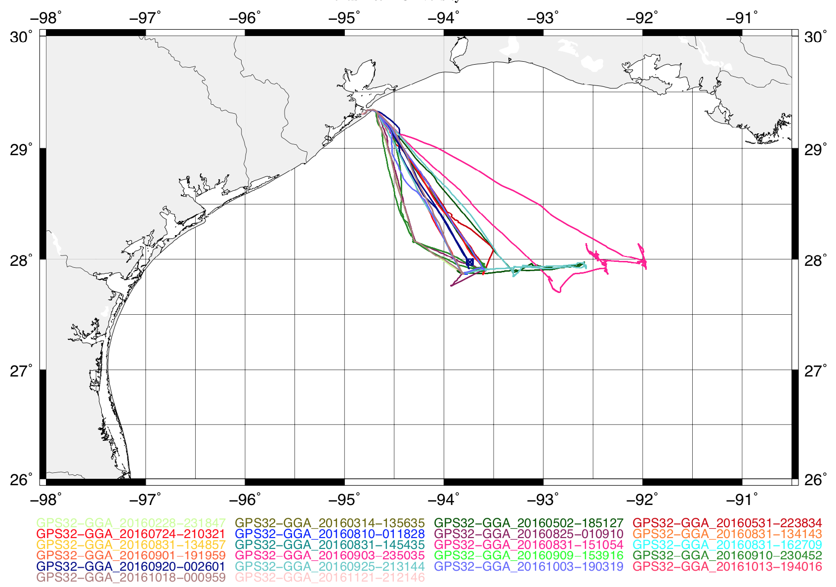
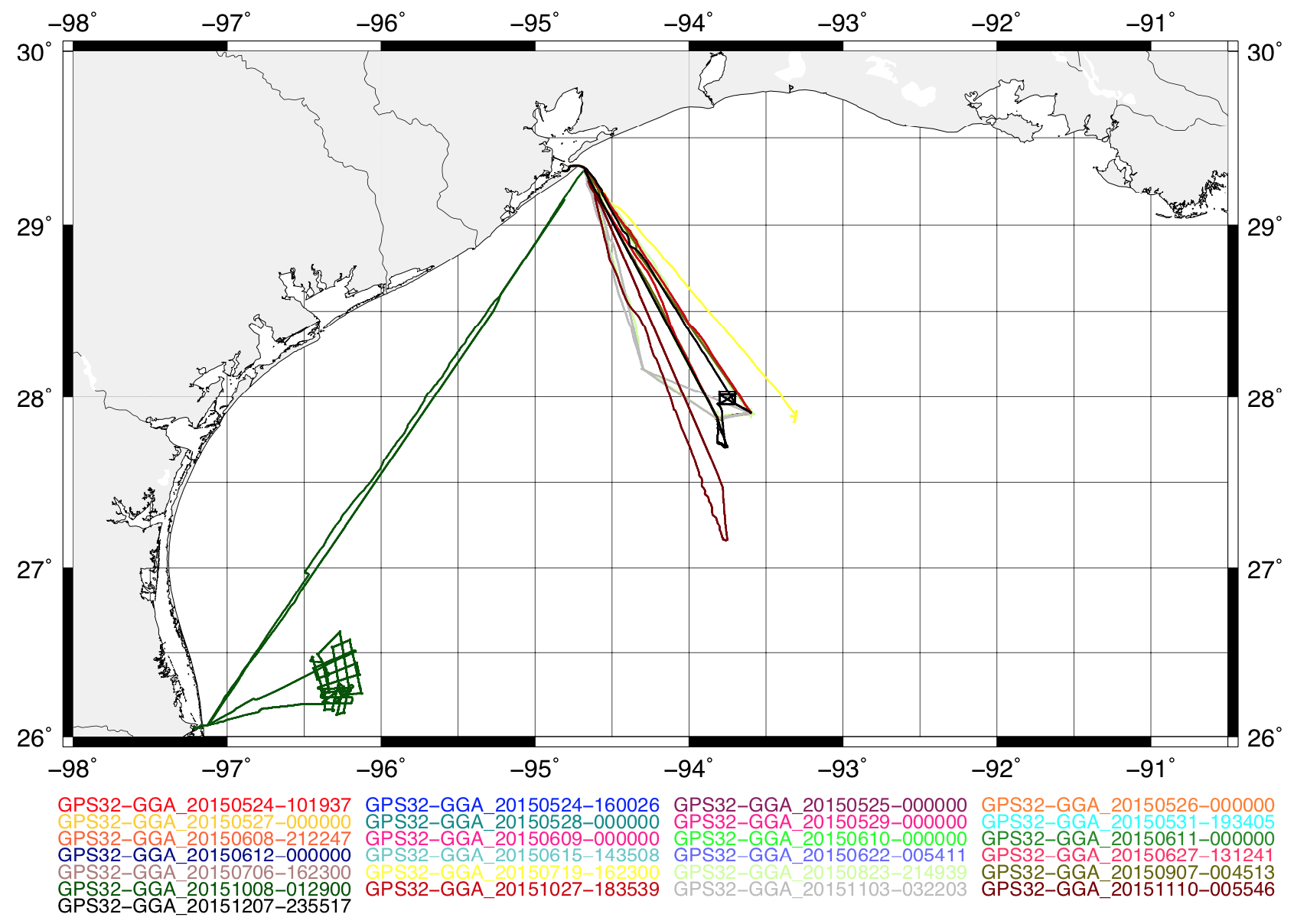
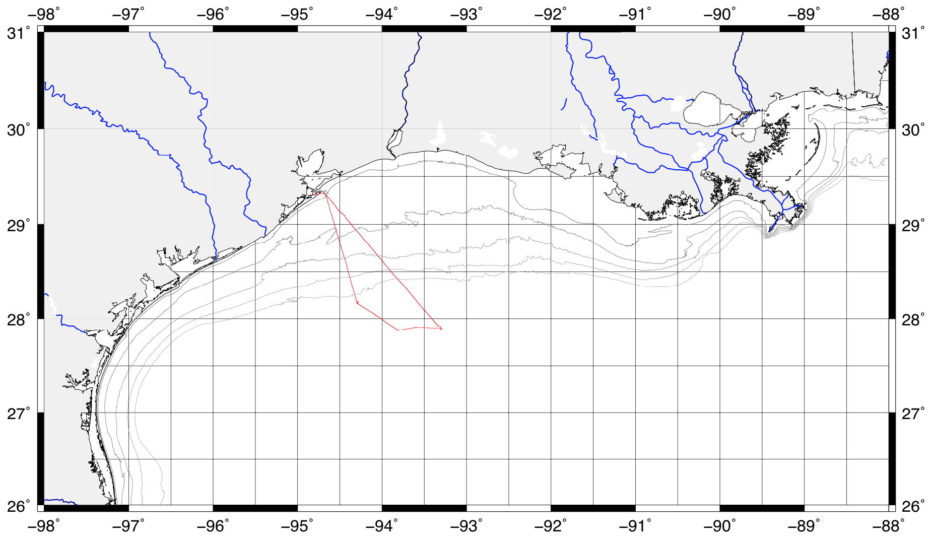
- Furuno GP32: GPS data
- SeaBird Thermosalinograph: sea temperature, conductivity, salinity, sound velocity
- WetLabs ECO Triplet Fluorometers: chlorophyll-a, CDOM, turbidity, backscatter
- RM Young Meteorological Translator: wind speed, wind direction, air temperature, relative humidity, barometric pressure, light intensity
- Winch Display: line payout, payout rate, line tension
- Metered A-Frame Block Display: line payout, payout rate
Data can be viewed real time and/or saved and extracted later Three custom displays at separate locations throughout the vessel
